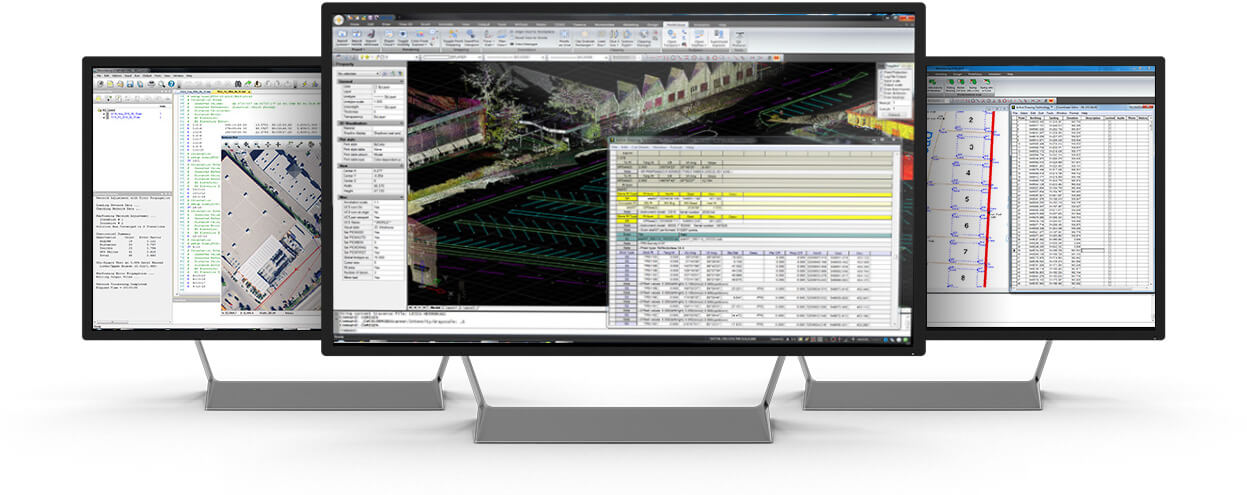
STAR*NET 14: Performance, Versatility, and Automation
We’ve taken the industry’s most trusted adjustment engine and optimized it for the modern professional. From high-speed rendering to virtual server automation, STAR*NET 14 is ready for any environment you throw at it.
Our Mission
We empower people – not machines.

Industry leading
MicroSurvey is one of the top developers of dedicated land surveying CAD software in the world. Our survey tools are some of the easiest and fastest to use in the industry.
Innovative
We continually seek to improve ourselves and our products; with regular product releases and service packs for performance enhancements, we are always looking for new and better ways of doing things.
Personal
Our technical support is second to none, and our team will ensure you always have the resources at hand to keep you on time and on budget.
Let's Make Things Happen
start your trial today
Land Survey Solutions
Industry innovative technology and exceptional value.
MicroSurvey develops computer software for Land Surveyors, Seismic Surveyors, Mapping Professionals, Police Officers, and Accident Reconstruction Specialists in more than 100 countries across the globe.
Our products work the way you expect; as efficiently as possible. MicroSurvey is built by surveyors for surveyors.

Cadastral
Solutions for building the fabric of the world’s boundaries.
Topography
Solutions for mapping and UAV projects.
Design Solutions
Solutions for 3D modeling, drainage and design.
