Achieving Peak Performance with MicroSurvey
With MicroSurvey CAD and STAR*NET, Summit Land Surveying has built a streamlined workflow that delivers accuracy, efficiency, and confidence on every project.
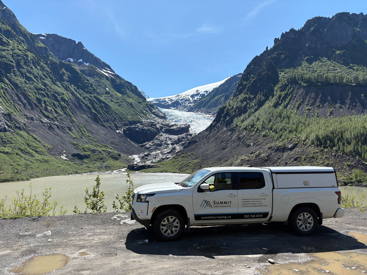
Meet Summit Land Surveying
Founded in 2019, Summit Land Surveying has established itself as a trusted provider of professional surveying services throughout West Kelowna and the Okanagan region. Under the leadership of co-owners Jacob Wall and James Thomas, the firm specializes in legal, topographic, construction, and high-precision geodetic control surveys, supporting a diverse range of public and private sector projects. With a focus on data integrity, repeatability, and rigorous quality control, Summit delivers survey solutions that meet the highest professional standards and stand up to detailed scrutiny in both field and office environments.
The Challenge: Building Efficiency Through Integration
From the beginning, Summit Land Surveying has focused on developing efficient, reliable, and repeatable workflows. For Jacob Wall, who has used MicroSurvey CAD since 2006, the software’s purpose-built survey tools and robust COGO functionality have always provided a strong foundation for professional practice.
Rather than overcoming inefficiencies, Summit’s ongoing challenge has been to continually refine and integrate processes that maximize productivity without compromising precision. MicroSurvey CAD’s database-driven environment is highly interoperable with a wide range of field and office software solutions available in the industry, allowing the team to design custom workflows that deliver both efficiency and the redundancy required for high-accuracy survey projects.

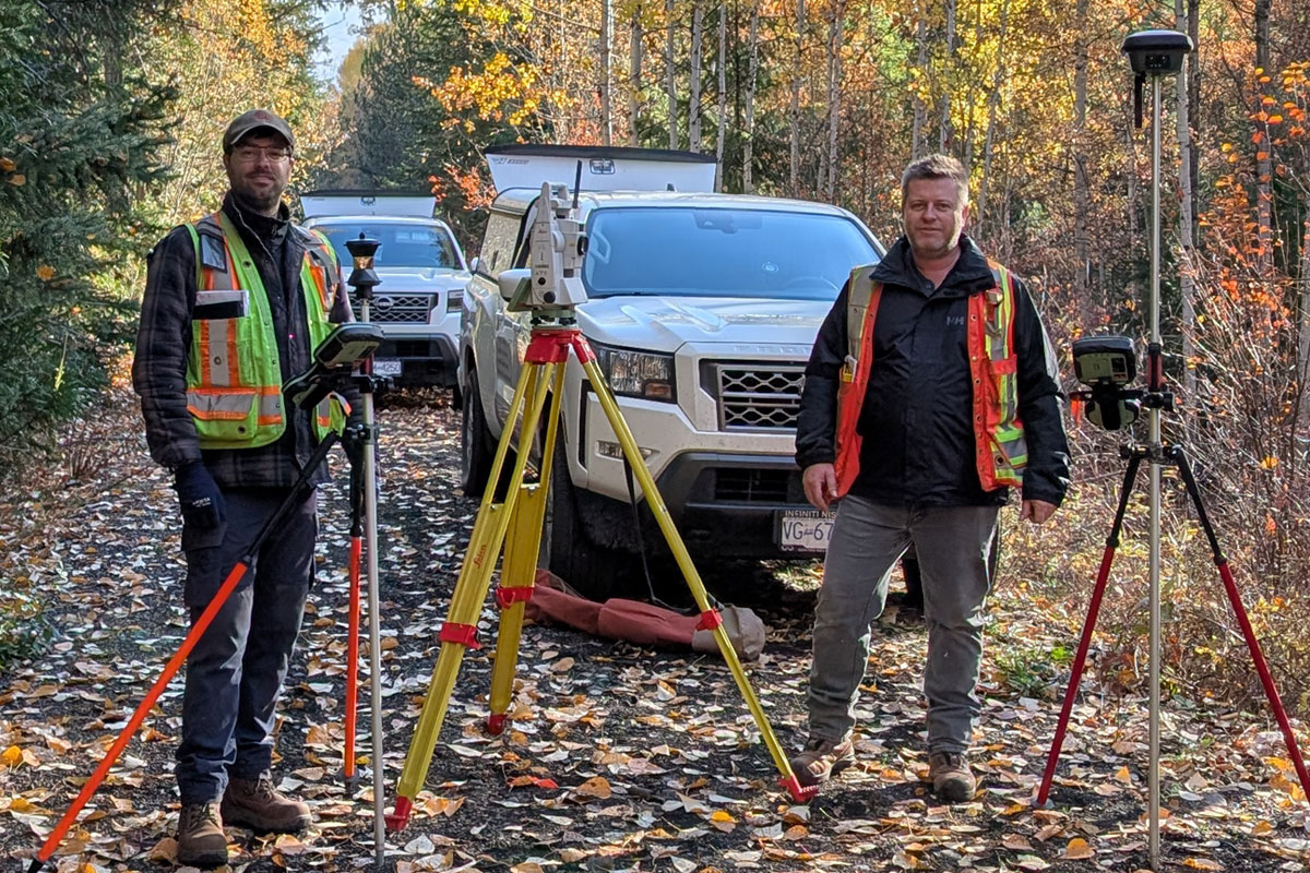
The Solution: A Seamless Office-to-Field-to-Office Workflow
Summit Land Surveying’s workflow is built around the powerful synergy of MicroSurvey CAD and STAR*NET, forming a continuous cycle of preparation, measurement, and verification that ensures precision at every stage.
The process is seamless:
- Preparation: Each project begins in the office, where base files are established in MicroSurvey CAD using legal survey records and control information.
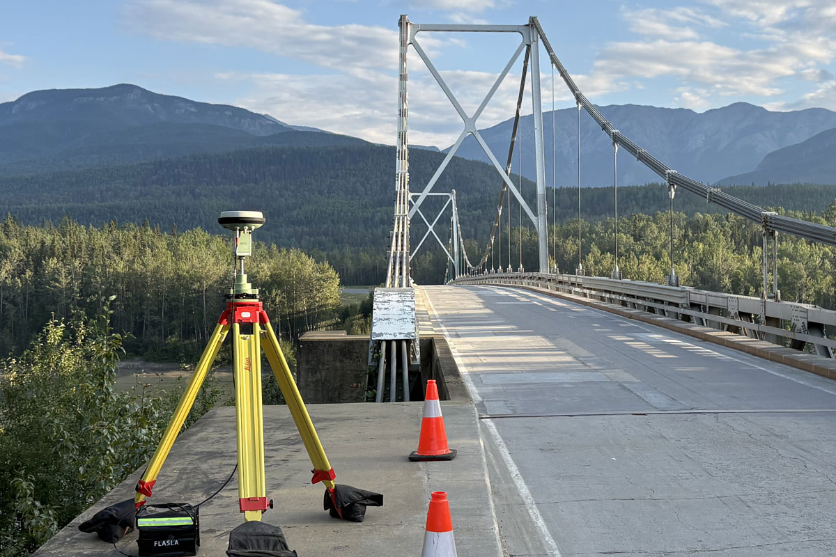
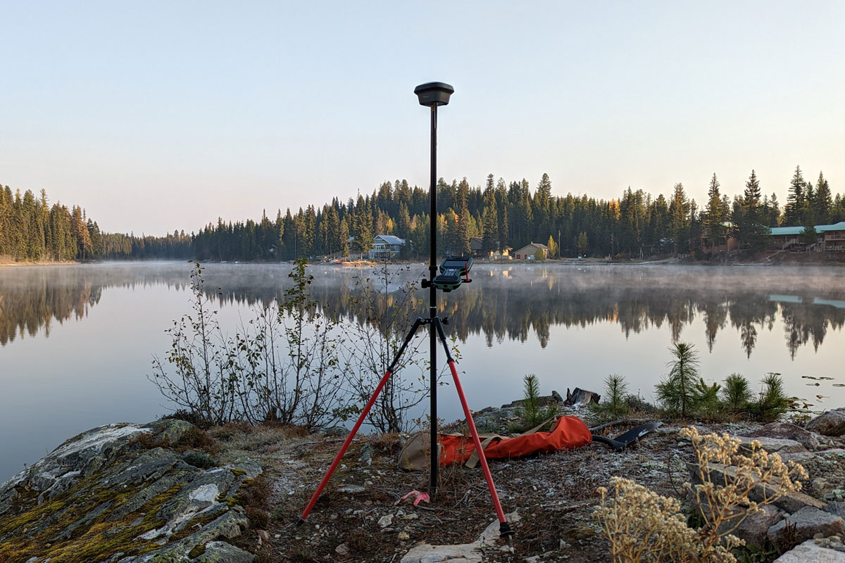
- Field Collection: The working files are then deployed to Leica Captivate field equipment for efficient and reliable data collection on site.
- Quality Assurance: Upon return, observations are processed and adjusted in STAR*NET to verify network integrity and ensure the highest standards of accuracy.
- Final Deliverables: The adjusted data is then brought back into MicroSurvey CAD to produce the finalized plans and client deliverables—completing a true office-to-field-to-office cycle.
“MicroSurvey CAD and STAR*NET are at the heart of virtually all our workflows. We begin every project by pre-calculating a base file so that when we arrive on site, we’re efficient, prepared, and confident that we won’t miss anything that might otherwise go unnoticed—and end up requiring a return trip.”
– Jacob Wall, Co-Owner, Summit Land Surveying
Increased Confidence and Quality Control
The STAR*NET adjustment process provides a crucial layer of assurance that goes far beyond standard checks. This powerful step enables Summit’s team to identify and correct even minor discrepancies before they develop into larger issues, ensuring that every dataset meets the rigorous accuracy standards demanded of legal and geodetic control surveys.
One of the most powerful aspects of MicroSurvey STAR*NET is that all its input data is stored in open, human-readable text files. This openness allows users to develop their own tools and automation processes that integrate seamlessly with other data sources. At Summit Land Surveying, this flexibility enables the creation of custom scripts that generate STAR*NET input files directly from open formats—such as Leica HeXML files from Captivate—further enhancing the efficiency and consistency of Summit’s custom workflow.
“STAR*NET is a huge value-add for us. It gives us that extra layer of assurance that we know our work is correct—and if we return to a job three years from now, we’re not going to find any surprises.”
– Jacob Wall, Co-Owner, Summit Land Surveying

After nearly two decades of use, Jacob’s loyalty is a testament to the platform’s reliability and performance. He finds MicroSurvey’s tools to be indispensable and uniquely suited to his business’s needs.
“There aren’t many software options available to surveyors that provide the range of specialized tools that MicroSurvey does. It’s still somewhat of a niche product, but it’s unique—and it does exactly what we need it to do.”
– Jacob Wall, Co-Owner, Summit Land Surveying
A huge thank you to Jacob Wall and his team at Summit Land Surveying for sharing their story with us. Their dedication to quality and efficiency is an inspiration to the entire surveying community.
Ready to build a new level of confidence in your projects?
Learn more about the products Jacob uses to achieve peak performance.
Or, speak with one of our representatives today to find the right solution for your team. Call us at 905-920-1830.