Become a Certified STAR*NET Professional This October
Our annual STAR*NET Certification isn’t just about learning which buttons to click. It’s about giving you the deep, foundational knowledge to confidently troubleshoot errors, derive accurate apriori values, and merge data from any sensor into a single, bulletproof network. It’s this exact level of expertise that firms like Summit Land Surveying rely on to tackle their most demanding jobs.
Why Become a Certified Expert?
By the end of this intensive 16-hour course, you will have the skills to:
Stop fighting with closing errors. Learn how to quickly find, isolate, and resolve typical network problems.
Gain the theoretical background to properly design least squares projects and confidently interpret the listing results.
Master data conversion and import strategies so you can seamlessly combine historical data with modern sensor inputs.
We are providing all attendees with a temporary floating license of our latest STAR*NET 14 Pro release, ensuring you can leverage the newest tools and converters, regardless of your current maintenance status.
Learn from a Geodetic Specialist
The course is led by Tim McCall (Bach App Sc. Surveying), a geodetic specialist and longtime STAR*NET power user. Tim goes beyond the manual, offering fresh perspectives on resolving geospatial problems and sharing advanced strategies you can apply in the field immediately.
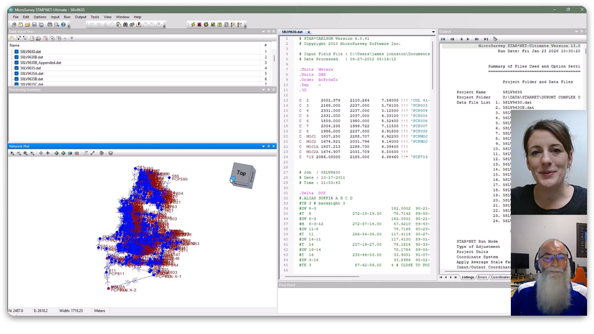
Watch Tim McCall in his element as he breaks down a Ground Scale Coordinate File adjustment in STAR*NET.