Stop Manual Labeling! Smart Labels in MicroSurvey CAD Explained
Are you looking for ways to streamline your MicroSurvey CAD workflow and save valuable time on every project? Discover Smart Labels, a powerful feature designed to transform your drafting process.
Watch the Latest Video Now: Enhance Your Drafting with MicroSurvey CAD Smart Labels!
In our latest video, we dive into why Smart Labels are becoming an essential tool for land surveyors and civil engineers. This powerful feature allows you to:
- Automate Key Annotations: Smart Labels are crucial for accurately labeling critical elements like house ties, property lines, and setback distances, ensuring your designs meet zoning mandates with ease.
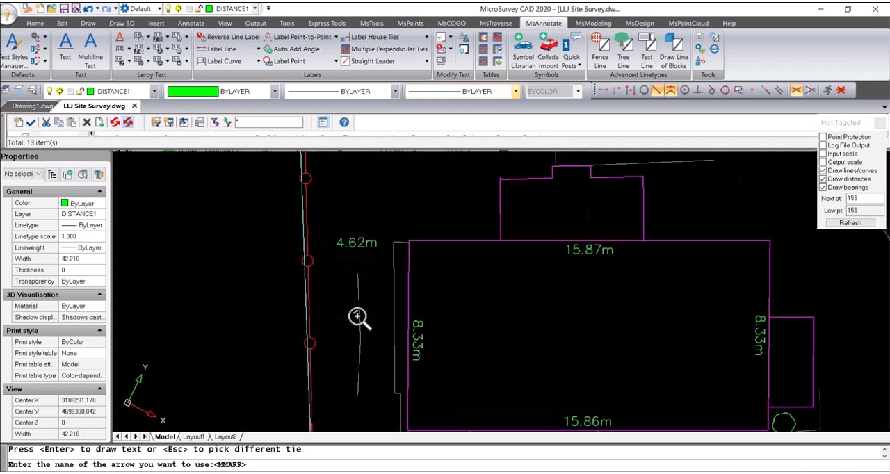
- Clearly Communicate Your Designs: Use Smart Labels to effectively show distances, structure annotations, and proposed elements, making your drawings more informative and professional.

Why Smart Labels Make a Difference
Smart Labels are designed for ease of use, making complex labeling tasks straightforward. Imagine cutting down hours of manual labeling and re-labeling! Smart Labels automatically adjust, saving you significant time on every project. Plus, whether you’re working on a simple proposal, a detailed layout for a field crew, or a formal certificate of location for submission to the Land Titles office, Smart Labels adapt to your needs, ensuring accuracy and consistency across all your deliverables.
Ready for More?
Explore our MicroSurvey CAD playlist for other helpful tips and tricks, or download a fully functional 30-day demo to experience MicroSurvey CAD for yourself!