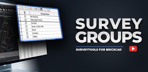
Organize, Manage, and Master Your Field Data with SurveyTools® for BricsCAD® V25 SurveyTools® for BricsCAD® V25 introduces powerful Survey Groups for effortless organization and management of all imported field...
Update

Organize, Manage, and Master Your Field Data
Organize, Manage, and Master Your Field Data with SurveyTools® for BricsCAD® V25 SurveyTools® for BricsCAD® V25 introduces powerful Survey Groups for effortless organization and management of all imported field...
Organize, Manage, and Master Your Field Data
This most recent version delivers enhanced efficiency and customization, allowing you to work faster and with greater precision. This means saving time on projects, improving consistency across deliverables, and ultimately increasing productivity and client satisfaction.
Precise Volumes, Faster Decisions: Introducing In-Field Calculations
Precise Volumes, Faster Decisions: Introducing In-Field Calculations MicroSurvey proudly introduces FieldGenius 3, a landmark release and our first multiplatform software, unifying field data collection into a...

Precise Volumes, Faster Decisions: Introducing In-Field Calculations
Precise Volumes, Faster Decisions: Introducing In-Field Calculations MicroSurvey proudly introduces FieldGenius 3, a landmark release and our first multiplatform software, unifying field data collection into a...
Precise Volumes, Faster Decisions: Introducing In-Field Calculations
This most recent version delivers enhanced efficiency and customization, allowing you to work faster and with greater precision. This means saving time on projects, improving consistency across deliverables, and ultimately increasing productivity and client satisfaction.
Integrate Power and Stability Into Your Workflow
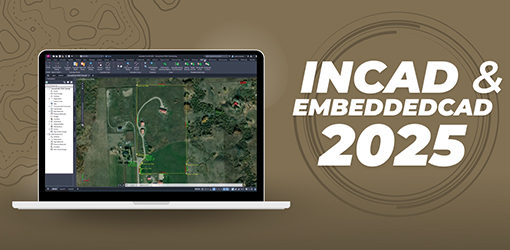
Integrate Power & Stability Into Your Workflow Introducing MicroSurvey inCAD and embeddedCAD 2025, now built on the latest Autodesk® 2025 platforms for tangible workflow improvements. For inCAD users, this means...

Integrate Power and Stability Into Your Workflow
Integrate Power & Stability Into Your Workflow Introducing MicroSurvey inCAD and embeddedCAD 2025, now built on the latest Autodesk® 2025 platforms for tangible workflow improvements. For inCAD users, this means...
Integrate Power and Stability Into Your Workflow
This most recent version delivers enhanced efficiency and customization, allowing you to work faster and with greater precision. This means saving time on projects, improving consistency across deliverables, and ultimately increasing productivity and client satisfaction.
Unifying Data Collection Across Windows and Android
Unifying Data Collection Across Windows & Android MicroSurvey proudly introduces FieldGenius 3, a landmark release and our first multiplatform software, unifying field data collection into a single, powerful...

Unifying Data Collection Across Windows and Android
Unifying Data Collection Across Windows & Android MicroSurvey proudly introduces FieldGenius 3, a landmark release and our first multiplatform software, unifying field data collection into a single, powerful...
Unifying Data Collection Across Windows and Android
This most recent version delivers enhanced efficiency and customization, allowing you to work faster and with greater precision. This means saving time on projects, improving consistency across deliverables, and ultimately increasing productivity and client satisfaction.
