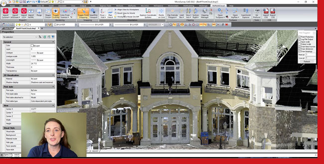
Are you currently working with point cloud data? Check out today’s video showcasing the benefits available to MicroSurvey CAD Point Cloud Users. Users of MicroSurvey CAD Ultimate can use point cloud data to speed up 2D drafting, create terrain models, extract 3D features and enhance their survey workflows. All from within a complete Land Surveying CAD package.

Request a demo from our website or contact your local dealer or Sales rep to see some of these impressive tools for yourself!
