Updates
Data Organization and Faster Processing: inCAD & embeddedCAD 2026.1
Data Organization and Faster Processing: inCAD & embeddedCAD 2026.1The MicroSurvey embeddedCAD and inCAD 2026.1 Service Pack is officially live and ready for download.For this update, we focused heavily...

Data Organization and Faster Processing: inCAD & embeddedCAD 2026.1
Data Organization and Faster Processing: inCAD & embeddedCAD 2026.1The MicroSurvey embeddedCAD and inCAD 2026.1 Service Pack is officially live and ready for download.For this update, we focused heavily...
Data Organization and Faster Processing: inCAD & embeddedCAD 2026.1
Data Organization and Faster Processing: inCAD & embeddedCAD 2026.1The MicroSurvey embeddedCAD and inCAD 2026.1 Service Pack is officially live and ready for download.For this update, we focused heavily...
Get 2026 Compatibility & Smoother Workflows: New inCAD & embeddedCAD
Get 2026 Compatibility & Smoother Workflows: New inCAD & embeddedCADExperience refined workflows with MicroSurvey inCAD and embeddedCAD 2026. Now built on the Autodesk® 2026 platform, this update delivers full AutoCAD® compatibility, a refreshed OEM interface,...
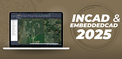
Integrate Power and Stability Into Your Workflow
Integrate Power & Stability Into Your Workflow Introducing MicroSurvey inCAD and embeddedCAD 2025, now built on the latest Autodesk® 2025 platforms for tangible workflow improvements. For inCAD users, this means...
Integrate Power and Stability Into Your Workflow
Integrate Power & Stability Into Your Workflow Introducing MicroSurvey inCAD and embeddedCAD 2025, now built on the latest Autodesk® 2025 platforms for tangible workflow improvements. For inCAD users, this means...
Integrate Power and Stability Into Your Workflow
Integrate Power & Stability Into Your Workflow Introducing MicroSurvey inCAD and embeddedCAD 2025, now built on the latest Autodesk® 2025 platforms for tangible workflow improvements. For inCAD users, this means...
inCAD and embeddedCAD 2024 Released
At MicroSurvey, progress never sleeps. Our survey software team which is made up of surveyors, software engineers and industry professionals is excited to tell you about the latest two product releases from...

inCAD and embeddedCAD 2024 Released
At MicroSurvey, progress never sleeps. Our survey software team which is made up of surveyors, software engineers and industry professionals is excited to tell you about the latest two product releases from...
inCAD and embeddedCAD 2024 Released
At MicroSurvey, progress never sleeps. Our survey software team which is made up of surveyors, software engineers and industry professionals is excited to tell you about the latest two product releases from...
inCAD and embeddedCAD 2023 Released
Quickly and Accurately Complete Complex Survey Calculations MicroSurvey Software is pleased to announce the releases of MicroSurvey inCAD and embeddedCAD 2023, built specifically for the demanding needs of land surveyors, contractors and civil engineers. MicroSurvey...