MicroSurvey CAD is our calculation-focused CAD platform for land surveyors and engineering professionals, designed to maximize efficiency and value by supporting many workflows and data formats in a single program.
The Leica AP20 AutoPole is a productivity-boosting innovative solution for Leica robotic total stations and boosts field survey productivity with three powerful smart features. Features including auto Tilt Compensation, auto PoleHeight, and auto TargetID remove the last analogue steps in your digital survey workflow to allow measurements with a tilted pole, providing automatic height readings and enabling target search and locking.
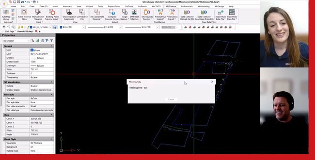
In today’s video, we get to chat with BCLS and owner of Summit Surveying, Jacob Wall, as he showcases his highly efficient Field-to-Finish workflow using the Leica AP20, Captivate and MicroSurvey CAD. Jacob shows us a dataset collected with Captivate and the AP20 AutoPole, and brings it into MicroSurvey CAD utilizing automation generated by setting up Leica Field Codes with MicroSurvey CAD AutoMap.
Check out the interview and see how integrating these technologies into your topographic survey workflows could be a productivity game-changer!

