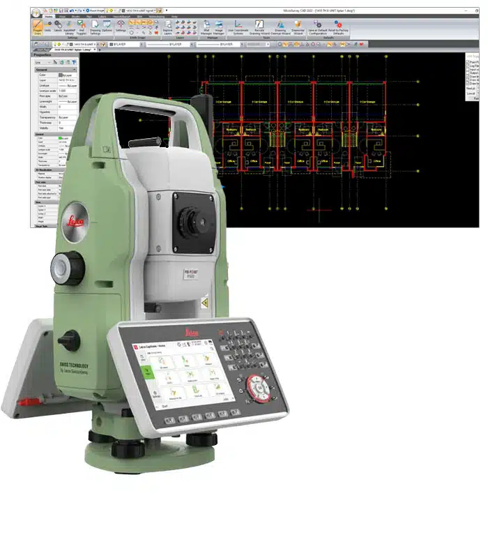
Survey & Civil CAD Solution

Stop fighting with generic CAD or overly complex civil software. MicroSurvey CAD is a built-for-purpose solution designed to take you from field data to final deliverable, faster. Draft 2D boundary surveys , create 3D topographic surfaces , and perform powerful COGO tasks with a tool that’s intuitive and a significant cost-saving alternative to other software.
Core Capabilities
-
Field-to-FinishInstantly turn raw field data into a finished map. Automate your drafting, save hours of work, and produce your final deliverable faster.
Try a 30-Day Demo of MicroSurvey CAD Today
Built For Your Industry

A Smarter, Safer Solution
Make the switch with confidence. Our intuitive tools are easy to learn , and the familiar IntelliCAD environment ensures your team is productive faster.
Enabling Business Success
“For us, it’s a quality check that applies to a boundary survey, or topo survey, or whatever. I’d estimate a 5 percent quality improvement across the board, which is worth it and good for our reputation. And, now and then, it saves our butt, which is priceless.
– Alan D. Frank
“It’s hard to stress how amazing these units have been for what we are focused on. We never have to send a technician back to a site because it was too complicated. We save time and are more accurate because of Reach RS2 and Fieldgenius! What more could you want!
– Jon Campbell
“It would almost take you overnight to run it because it would bring the computer to a halt, and this is just for a very simple traverse survey. We purchased at that time as we all started to get PCS to replace our Mainframe Kogo system, and I loved it ever since.”
– Bob Epstein