Updates
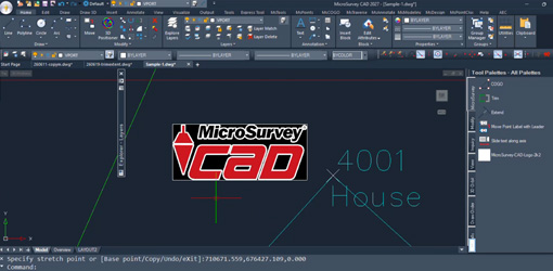
MicroSurvey CAD 2027 is Officially Here: Experience Frictionless Drafting
MicroSurvey CAD 2027: Experience Frictionless DraftingThe wait is over and MicroSurvey CAD 2027 is officially available. This release delivers a significant upgrade to the IntelliCAD engine—jumping from version 11.1 to 14.1—bringing a long list of visual, performance,...
Preparing the Next Generation of Engineers
Preparing the Next Generation of Engineers with MicroSurveyWith MicroSurvey CAD and FieldGenius, New Brunswick Community College (NBCC) has modernized its Engineering Technology curriculum, providing students with industry-standard tools and the confidence needed to...
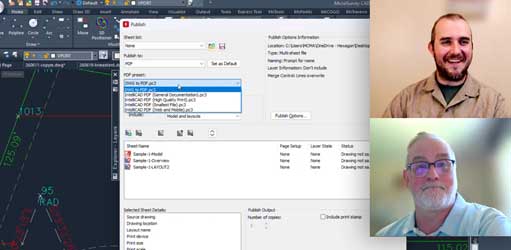
Faster Drafting & Smarter Organization in MicroSurvey CAD 2027
Faster Drafting & Smarter Organization in MicroSurvey CAD 2027The release of MicroSurvey CAD 2027 is just around the corner. We are currently putting the final touches on our most powerful release yet, ensuring every enhancement is ready to integrate seamlessly into...
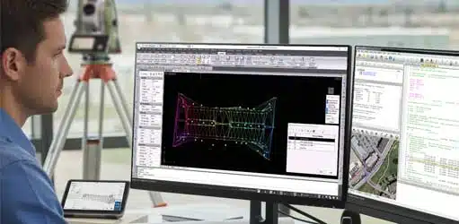
Achieving Peak Performance with MicroSurvey
Achieving Peak Performance with MicroSurveyWith MicroSurvey CAD and STAR*NET, Summit Land Surveying has built a streamlined workflow that delivers accuracy, efficiency, and confidence on every project.Meet Summit Land SurveyingFounded in 2019, Summit Land Surveying...
MicroSurvey CAD 2026: Advanced Data Management and Expanded Compatibility
Advanced Data Management and Expanded CompatibilityMicroSurvey CAD 2026 is engineered to handle the increasing complexity of modern survey data. This version moves beyond simple drafting upgrades to deliver powerful new data management tools and direct point cloud...
Stop Costly Survey Errors Before They Happen
Stop Costly Survey Errors Before They HappenAre you looking for ways to streamline your MicroSurvey CAD workflow and save valuable time on every project? Discover the Lot Closure routine, a powerful feature designed to transform your drafting process.[wp-video-popup...