Topography Standalone CAD Solutions

MicroSurvey CAD FOR Topography SURVEYORS
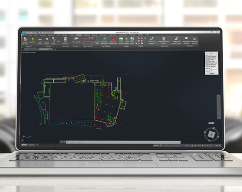
Powered by IntelliCAD®, Field to finish has never been this easy. Available in 5 different editions, MicroSurvey CAD is the design solution engineered especially for Surveyors. A Premium license includes advanced surveyor tools such as COGO, DTM, and DESIGN functions. Ultimate adds point cloud processing, and Studio includes everything plus animation capabilities.
MicroSurvey embeddedCAD FOR Topography SURVEYORS
Powered with Autodesk technology™. A strong CAD application that has our survey tools embedded within; COGO, DTM and design functions built specifically for land surveyors, civil engineers and contractors.