
View MicroSurvey – Dealer Map in a full screen map
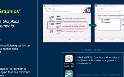
Eliminating hardware barriers with No Graphics Mode in STAR*NET 14
You need results wherever the job takes you. STAR*NET 14 is evolving to run flawlessly across more environments, ensuring your workflow remains uninterrupted by hardware limitations or virtual server constraints.
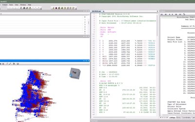
Elevating Your Visualization in STAR*NET 14
Precision is the heart of what you do, and with the upcoming launch of STAR*NET 14, we’re ensuring that the software’s visualization finally matches its world-class math.

Protected: Driving Precision and Clarity
There is no excerpt because this is a protected post.
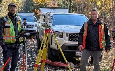
Achieving Peak Performance with MicroSurvey
Founded in 2019, Summit Land Surveying has established itself as a trusted provider of professional surveying services throughout West Kelowna and the Okanagan region. Under the leadership of co-owners Jacob Wall and James Thomas, the firm specializes in legal, topographic, construction, and high-precision geodetic control surveys, supporting a diverse range of public and private sector projects.

Infinity 5.0.0: Seamless STAR*NET Connectivity
Leica Infinity's Seamless Connectivity with STAR*NETLeica Infinity 5.0.0 introduces a direct export feature that bridges the gap between your processing software and your adjustment workflows. For survey firms utilizing the Hexagon ecosystem, this update delivers a...
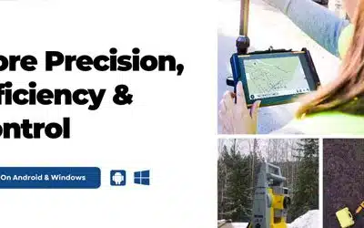
FieldGenius 3.2: More Precision, Efficiency and Control
FieldGenius 3.2 enhances total station functionality with versatile new measurement modes and delivers critical GNSS driver updates. For your firm, this means reduced downtime in the field, stronger data manipulation tools, and the ability to prepare and verify projects on the desktop—ensuring your field crews stay focused on collecting data.
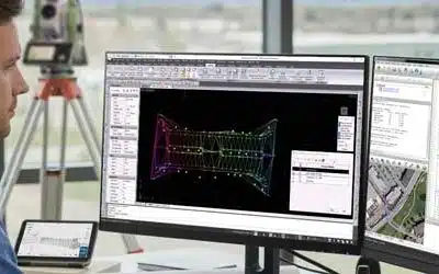
MicroSurvey CAD 2026: Advanced Data Management and Expanded Compatibility
MicroSurvey CAD 2026 is engineered to handle the increasing complexity of modern survey data. This version moves beyond simple drafting upgrades to deliver powerful new data management tools and direct point cloud compatibility. For your firm, this means streamlined workflows for surface modeling, reduced reliance on complex CAD layering, and the ability to bid on projects requiring diverse point cloud formats.
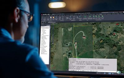
Get 2026 Compatibility & Smoother Workflows: New inCAD & embeddedCAD
Experience refined workflows with MicroSurvey inCAD and embeddedCAD 2026. Now built on the Autodesk® 2026 platform, this update delivers full AutoCAD® compatibility, a refreshed OEM interface, and critical engine optimizations. Enjoy a smoother user experience with our improved cloud-based licensing system.
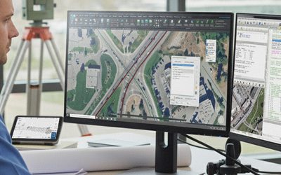
Year-End Incentives 2025
Finish the year strong with smart investments in your workflow. We’ve built four targeted offers—from mastering point cloud data to upgrading your field-to-finish efficiency—designed to solve your biggest challenges and get you 2026-ready.


Quick Links
[wbcr_php_snippet id="221056"]
About Us
About Us
© 2019 MicroSurvey Software Inc. All rights reserved