
View MicroSurvey – Dealer Map in a full screen map

SurveyTools for BricsCAD Coming Soon…
HxGN LIVE 2023 Witnessed The Unveiling of SurveyTools™ for BricsCAD®
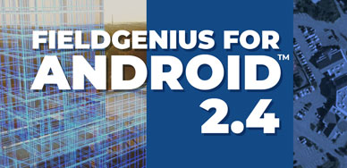
What’s New in FieldGenius for Android 2.4?
This service pack focuses on enhancing existing functions to elevate your user experience and boost efficiency.
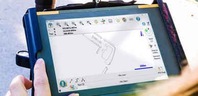
FieldGenius 11.6 Now Available
MicroSurvey is pleased to announce the latest service pack release of their full featured, brand-neutral data collection software, FieldGenius version 11.6.

New Tech Powerhouse Subscription Bundle
With the imminent release of FieldGenius for Android™ 2.4 just around the corner, we are pleased to introduce our first subscription option for FieldGenius for Android™.

Workflows Turbocharged With The Launch Of A New Survey Application
Announced at HxGN Live in Las Vegas, SurveyTools™ for BricsCAD® is an all-in-one solution for surveying workflows by MicroSurvey®. The solution combines the powerful surfacing and point cloud tools in BricsCAD with a complete suite of survey tools for land surveyors, all in our familiar CAD interface.
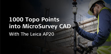
1000 Topo Points Into MicroSurvey CAD With The Leica AP20
In today’s video, we get to chat with BCLS and owner of Summit Surveying, Jacob Wall as he showcases his highly efficient Field-to-Finish workflow using the Leica AP20 and MicroSurvey CAD.

HxGN LIVE Global 2023
Join us in Las Vegas Nevada from June 12th to June 15th at the Caesars Forum for HxGN LIVE Global 2023. This year’s pure surveying summit focuses on advancing your business and getting the most from your surveying technology — freeing surveyors to do more with less.

Pinpoint Historical Survey
Check out Alan’s brief yet fascinating overview of his STAR*NET methodology in this video to learn about an unconventional application of Least Squares.
Intuitive Architectural Drafting Tools
Get More Floorplans Completed In Less Time With MicroSurvey CAD’s Intuitive Architectural Drafting Tools


Quick Links
[wbcr_php_snippet id="221056"]
About Us
About Us
© 2019 MicroSurvey Software Inc. All rights reserved