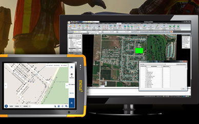
View MicroSurvey – Dealer Map in a full screen map
Year-End Incentives 2023
MicroSurvey Software is offering Year-End Incentives starting November 1.

What’s New In STAR*NET 12?
STAR*NET has been trusted to deliver high quality adjustments since 1986. It has become the industry standard in many regions and is globally recognized among land surveyors today.

Upcoming Training: STAR*NET & MicroSurvey CAD
Elevate your skills with MicroSurvey software’s upcoming online courses, featuring in-depth training on MicroSurvey CAD and STAR*NET. Led by seasoned industry experts, these courses are tailored to streamline your current workflows and boost productivity.

Back-to-School Sale: Third Offer!
MicroSurvey is happy to announce it’s partnership as a reseller for Bricsys products!

Big Savings on the MicroSurvey Back-to-School Software Sale!
From September 6th until September 30th, check out the massive savings you can get with the MicroSurvey Back to School Sale!
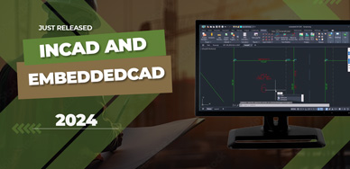
inCAD and embeddedCAD 2024 Released
At MicroSurvey, progress never sleeps. Our survey software team which is made up of surveyors, software engineers and industry professionals is excited to tell you about the latest two product releases from MicroSurvey; inCAD and embeddedCAD 2024.
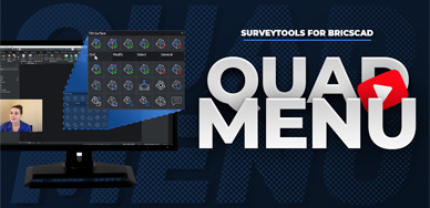
CAD Functionality Curated Especially For You
The quad menu directs more of the CAD action to our fingertips, allowing us access to commands directly at the cursor.

MicroSurvey Online School: SurveyTools for BricsCAD
The video will show you how to navigate through the training interface and will go over the latest (free!) course additions which are focused on getting you up and running with our newest release: SurveyTools™ for BricsCAD®.

MicroSurvey CAD 2023 Released!
Since 1985, MicroSurvey has delivered over 50 iterative versions of our flagship product MicroSurvey CAD. Tireless innovation has led us to today, and the release of MicroSurvey CAD 2023.

Quick Links
[wbcr_php_snippet id="221056"]
About Us
About Us
© 2019 MicroSurvey Software Inc. All rights reserved