
by Geordie Helm | Jun 4, 2026 | Uncategorized
by Geordie Helm | May 29, 2026 | Uncategorized
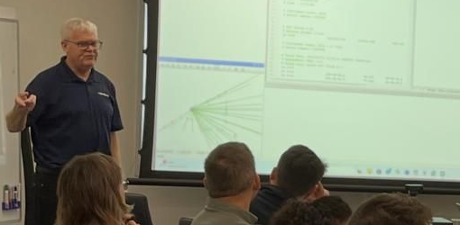
Upcoming STAR*NET Training in the UK: Hosted by SCCS Following the success of last year’s sessions, I’m delighted to announce that we’re bringing our STAR*NET Training Courses back to the Hexagon office in Cobham this June with an exciting addition for 2026!...

by Geordie Helm | May 28, 2026 | inCAD emCAD, Update
Data Organization and Faster Processing: inCAD & embeddedCAD 2026.1 The MicroSurvey embeddedCAD and inCAD 2026.1 Service Pack is officially live and ready for download. FollowFollowFollowFollow E For this update, we focused heavily on giving you better ways to...

by Geordie Helm | May 21, 2026 | FieldGenius, FieldGenius for Android, Update
FieldGenius 3.3 Released: Speed, Automation, and Reliability We’ve overhauled the core workflows to ensure your field-to-office transitions are faster and more intuitive than ever. From faster instrument connections to streamlined data management, FieldGenius 3.3 is...
by Geordie Helm | May 14, 2026 | FieldGenius, FieldGenius for Android, Update
Streamlining Setup, Exports, and Support Efficiency is at the heart of your workday, and with the upcoming launch of FieldGenius 3.3, we’re ensuring your field-to-office transitions are more intuitive than ever. FollowFollowFollowFollow E In our latest feature reveal,...
Recent Comments